John Jarratt Collection
Transcription file from the collection on deposit at The Victoria Regional History Center
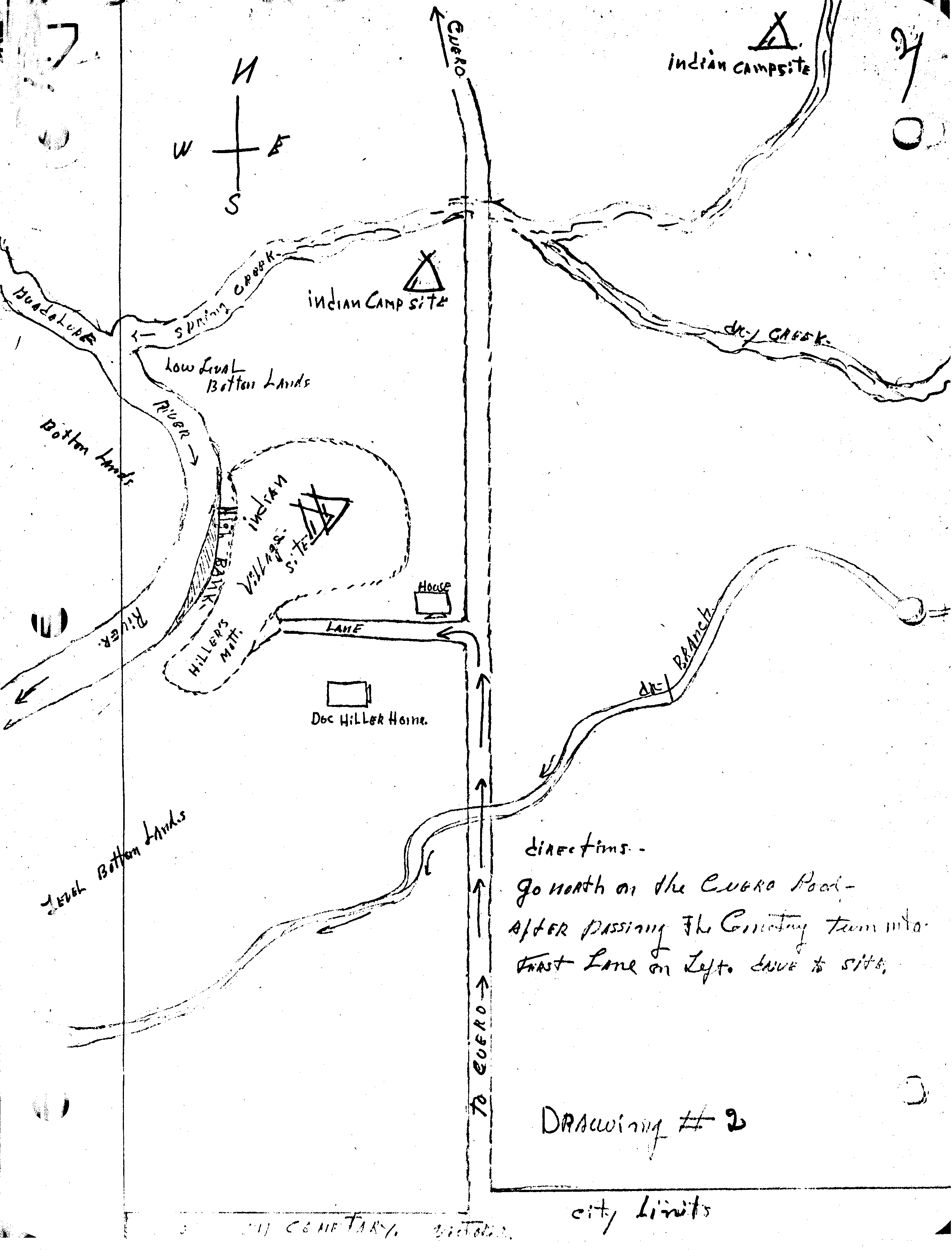
Drawing #2: Directions to Toncahua Bank

Drawing - Directions to Toncahua Bank

Notations west of Cuero Road:

  • Guadalupe River
  • Spring Creek
  • Indian campsite
  • Low level bottom lands
  • Bottom lands
  • High bank
  • Indian village site
  • Hiller's Mott
  • Lane

Notations east of Cuero Road:

  • Indian campsite
  • Dry Creek
  • Dry Branch
  • SDirections: Go north on the Cuero Road, after passing the cemetery, turn into first lane on left, drive to site.
  • City limits